How to resolve AdBlock issue?
 - Elizabeth Larson
- Posted On
Storms bulk up California’s snowpack, raise reservoir storage; another week of rain expected
State Climatologist Dr. Michael Anderson said the seventh atmospheric river since Christmas made its way over California on Wednesday, dropping more heavy rain of about 1.5 inches.
The forecast showed that the storm is expected to continue to bring rain until Saturday.
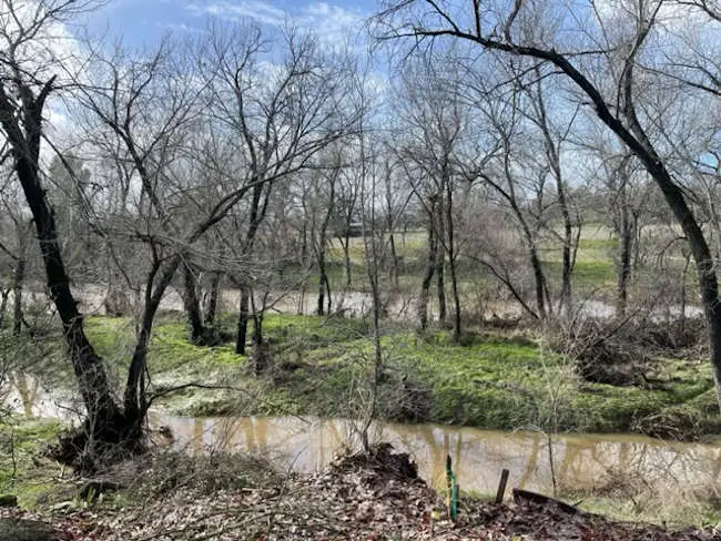
The rain of the past several weeks is continuing to help Clear Lake recover from its lowest levels since the 1970s.
The United States Geological Survey’s gauge on Clear Lake showed its level was at 1.7 feet Rumsey, the special measure for the lake, late Wednesday night. The lake was at -2.4 just before Christmas.
Anderson said river systems are continuing to fluctuate after every storm, with water levels rising but not coming down as much after the storms pass.
“The hydrologic conditions will continue to evolve, particularly in our larger rivers, even as the storms abate,” Andersonsaid.
He said atmospheric river No. 7 is fitting climatologically with the level of rain the state’s water system can manage.
Heading into the weekend, Anderson said storm No. 8 will have a broader statewide area for precipitation, with rainfall forecast from the Oregon border to San Diego.
There will be a heavier accumulation of 1 to 3 inches in mountainous areas along the coast as well as the Sierra Nevada, Anderson said.
Anderson said storm No. 9, expected from Jan. 18 to 19, looks to be more focused in the Northern Sierra and north of the Golden Gate region.
The freezing elevation is expected to be in the 4,000 to 6,000 foot range, which Anderson said is good news — it means that the storm is likely to build more snow.
After Jan. 20, the state should get a break from the rain, although Anderson said the forecast models are showing the potential for another storm system to come in around Jan. 27.
Anderson said California is looking to be in a better situation than last year, when rain shut off for three months.
“The Sierra Nevada has had a lot of precipitation” and is accumulating a lot of snow, Anderson said.
As of Wednesday, Anderson said the state’s automated sensors registered what is considered a full seasonal snowpack, which usually takes place around April 1.
The last really big snowpack was in 2019, which Anderson said was the fifth largest going back to the beginning of snowpack monitoring in 1950. Other large snowpacks in recent years were in 2005, 2006, 2011 and 2017.
He said officials will revisit some flood management concerns as the snow melts, especially if it’s too quickly.
For water storage statewide, “We’ve seen some really impressive gains in our reservoir storage,” Anderson said.
Smaller facilities have recovered depleted storage and hit the top of their conservation marks for winter and are now pivoting into flood management operations, where they hold excessive flows while the water moves through before letting it out. Anderson said those actions are coordinated with the U.S. Army Corps of Engineers.
Lake Shasta and Lake Oroville, the keystone projects for the Central Valley Project and State Water Project, respectively, have caught a lot of water, Anderson said.
While Shasta and Oroville still have a lot of room to go until they get back to average or top of conservation marks, Anderson said they are off of historic lows thanks to the storms.
Anderson said there are still areas where water storage is depleted, and challenges for the Colorado River system remain.
“There will be underlying components of drought that will linger even when this is all done,” he said.
Molly White, State Water Project water operations manager for the Department of Water Resources, said the overall storage level of California’s 154 reservoirs was at 84% of the historic average on Wednesday, up 3% from Tuesday.
Lake Shasta, which White said has had a “steep increase” in its storage over the past month, was at 1.9 million acre feet at that point, surpassing its level last year.
Lake Oroville was at 1.7 million acre feet on Wednesday, or 88% of its historical average, White said. The lake’s average this time of year is around 2 million acre feet.
Jeremy Arrich, manager of Water Resources’ Division of Flood Management, said that with more storms on the way, it’s necessary to keep paying attention to safety advice and emergency orders.
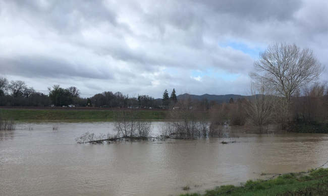
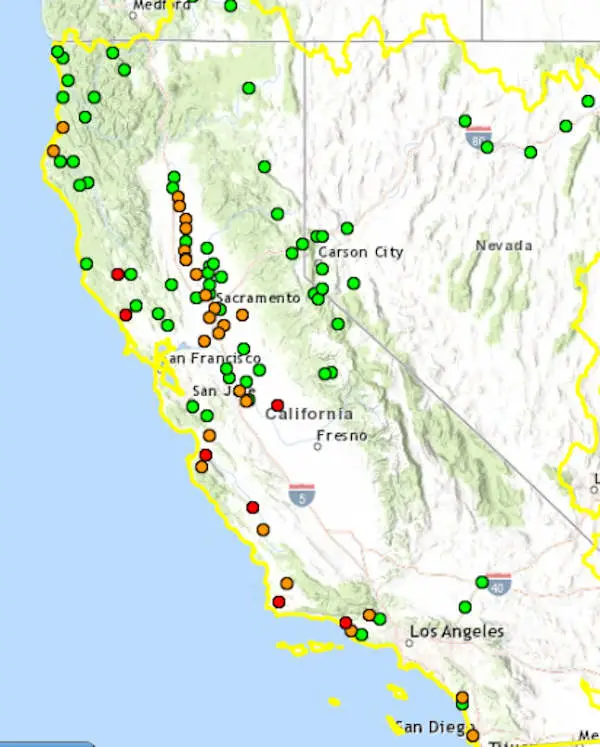
The California Nevada River Forecast Center showed that 22 river and water systems were above monitor stage and four were above flood stage as of Wednesday night.
Areas in flood stage continued to include the Russian River in Mendocino and Sonoma counties.
Arrich said Bear Creek in Merced County has experienced a flood of record this year.
Email Elizabeth Larson at This email address is being protected from spambots. You need JavaScript enabled to view it.. Follow her on Twitter, @ERLarson, or Lake County News, @LakeCoNews.