How to resolve AdBlock issue?
 - Lake County News reports
- Posted On
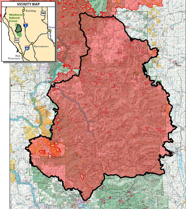
BAER team completes first round of fieldwork for August Complex South Zone
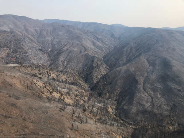
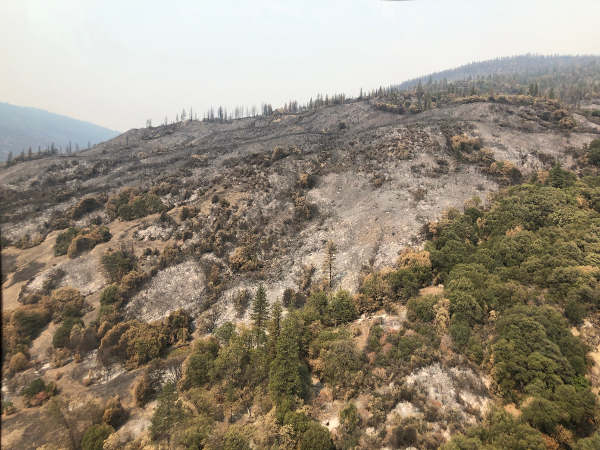
NORTHERN CALIFORNIA – Burned Area Emergency Response specialists from the U.S. Forest Service recently completed their data gathering and fieldwork of the August Complex fire burn area.
The US Forest Service said the focus of the BAER team was to verify and finalize the soil burn severity map.
Soil burn severity is classified into levels between unburned and high.
Due to the size of the fire, its activity and the team’s inability to visit the northern portion of the fire, the BAER team assessed the southern portion of the fire, an area 521,000 acres in size.
The total fire area as of late Wednesday was more than 1,014,000 acres, officials reported.
BAER specialists will now use the soil burn severity data to identify if there are areas or features of concern where increased soil erosion, accelerated surface water run-off, and debris flows have the potential to impact human life and safety, property, and critical natural and cultural resources from rain events.
More information about the BAER team can be found here.